
The Lagunitas Creek Floodplain and Riparian Restoration Project was proposed by SPAWN to support improvements to riparian ecosystem function and address limiting factors for coho salmon and other listed species in Lagunitas Creek.
The Salmon Protection and Watershed Network (SPAWN) recently completed our Year 1 Post-Construction Monitoring Report for the Lagunitas Floodplain Restoration Phase I.
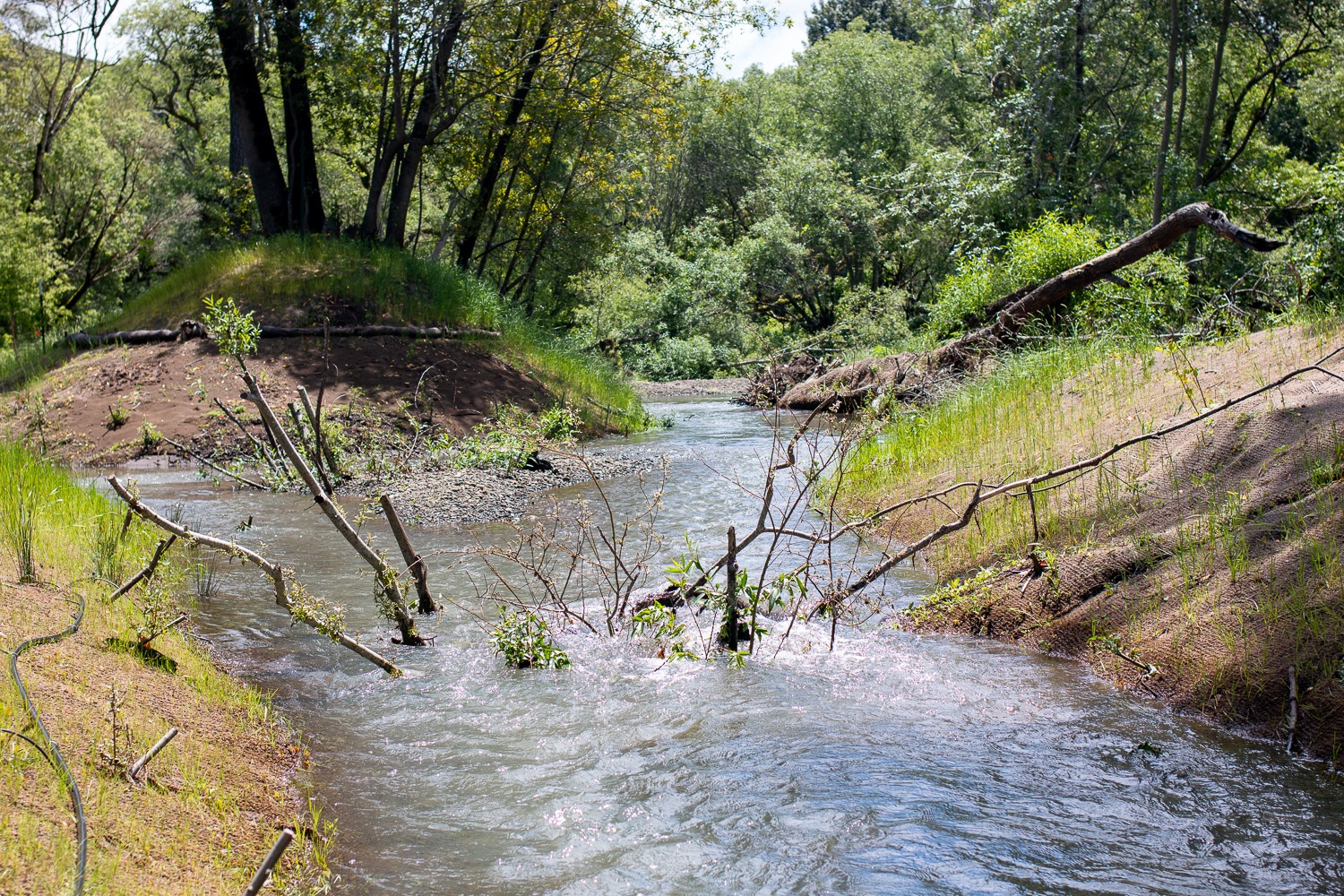
The Lagunitas Creek Floodplain and Riparian Restoration Project was proposed by SPAWN to support improvements to riparian ecosystem function and address limiting factors for coho salmon and other listed species in Lagunitas Creek. The focus area of the project is a one-mile stretch of Lagunitas Creek, including the former towns of Tocaloma and Jewell on the Golden Gate National Recreation Area (GGNRA). This reach of Lagunitas Creek has been impacted by historic residential development, encroachment from highways and railways, and watershed changes from a regulated flow regime and upstream dams.
The goals of the Lagunitas Floodplain and Riparian Restoration Project are to reconnect Lagunitas Creek with the historic floodplain to 1) create complex off-channel habitats that address limiting factors for Coho survival, 2) increase large wood volumes and expand floodplain areas to meet targets of the Lagunitas sediment TMDL, and 3) improve overall riparian health and create habitats for other listed species.
The report includes a summary of monitoring methods, results, and analysis concerning important areas of focus that act as indicators to gauge the success and impact of the project. These topics include:
- Floodplain Inundation
- Side Channel Activation Patterns
- Sediment Metering
- Salmonid Habitat Suitability
- Large Woody Debris Accumulation
- Riparian Revegetation


